TRANSPORTATION PLANNING AND ENGINEERING
Traffic Engineering, Parking Audits, and Heavy Civil Design
Spatial Decision Making
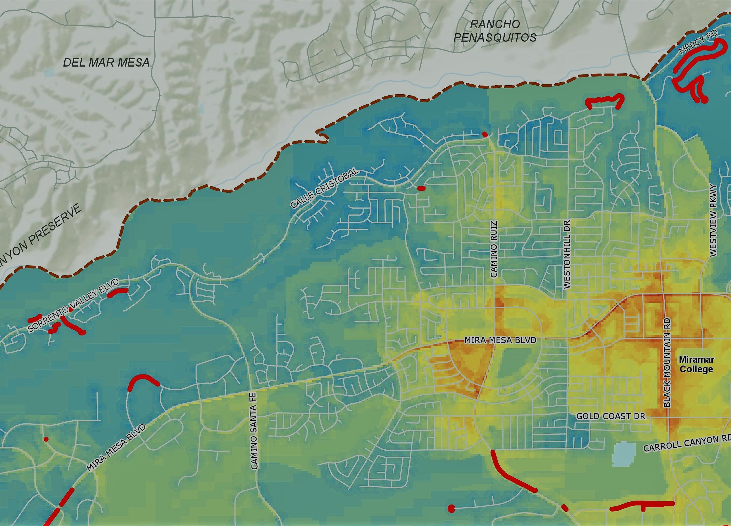
Evari has supported a number of planning and design projects over the years, from evaluating bicycle levels of traffic stress, to photometric analyses of pedestrian lighting across hundreds of locations citywide. Our team includes certified planners and licensed traffic/civil engineers, and can support data creation, analysis, and design efforts on a number of municipal projects.
At the same time, GIS technology has evolved beyond simple mapping and analysis, and Evari is at the forefront of leveraging advanced visualization techniques in support of comprehensive corridor projects, including 3D scenes using City Engine, augmented reality simulations, and integrations with video game engines like the Unreal and Unity engines.
Read about some of our transportation projects below
As-Needed Traffic Engineering Support
For the City of San Diego
Evari GIS Consulting is providing traffic engineering support to the Planning Department at the City of San Diego. Evari supports Prime Contractor, Kimley Horn, with Public Outreach Strategy and Participation, Process Mapping and Analyses Methodologies, Research and Data Collection, Existing Conditions and Mobility Assessment, Preliminary Circulation Element Concepts, Circulation Element Alternatives, Future Conditions Analysis, and finally Community Plan Circulation Element Amendments. The overall budget for this project is $1.05MM, and the project is on schedule and on budget.
Georgia DOT
The Georgia Department of Transportation developed this project to widen and reconstruct a bypass, the West Winder Bypass, located in Barrow County, GA. The project consisted of 4.97 miles of widening and included roughly 176,000 square yards of concrete paving.
Evari was hired to leverage an enterprise GIS database solution to convert the storm water structures, conveyances, and post- construction structures into GIS format, create a database to manage the assets, and develop a web application for ERS to quickly make updates and changes to the storm water system.
City of Vista
Evari was subcontracted to conduct an initial field audit, manage comprehensive data, and perform a regional illumination photometrics lighting assessment using their proprietary software, EvariLUX. They audited over 800 streetlights during both day and night to facilitate the transition to energy-saving LED lighting. Evari provided enterprise GIS services, webmaps, and field auditing support. Their regional illumination photometrics analysis evaluated current lighting designs and proposed scenarios for improvement effectiveness. Evari utilized field-collected data and fixture-specific IES files in EvariLUX to develop lighting visualizations, including a web scene depicting lighting distribution across the project area. This approach assisted the city in its streetlighting assessment and pre-construction planning.
City of Pittsburgh
Employing the EvariLUX tool, lighting analyses were conducted to visualize and model different scenarios for the City of Pittsburgh LED Streetlight Conversion project. Collaborating closely with the City and TEN, Evari integrated existing data, generating insightful summary tables, graphs, maps, and technical content to compare and contrast three competing manufacturers. This allowed the City to determine which manufacturer provides the highest quality lighting design and product, far beyond the uninformed tradition of selecting the lowest bidder. A WebGIS dashboard was crafted, immortalizing the pre-conversion conditions for future reference.
Photometric calculations and EvariLUX tool results were integrated into project documents, facilitating digital distribution. Evari provided continuous digital support, ensuring the smooth progression of the streetlight conversion.


